The Canal runs between Port Said harbor and the Gulf of Suez , through soils which vary according to the region. At Port Said and the surrounding area, the soil is composed over thousands of years of silt and clay sedimentations deposited by the Nile waters drifted by Damietta branch. This formation extends to Kantara, 40 km to the south of Port Said , where silt mixes with sand. The central region of the Canal between Kantara and Kabret consists of fine and coarse sands, while the southern region contains dispersed layers of rocks, varying in texture from soft sand to some calcium rocks.
The Suez Canal is a sea level Canal and the height of water level differs slightly and the extreme tidal range is 65 cm in the north and 1.9 m in the south.
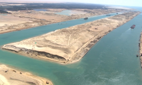
The banks of the Canal are protected against the wash and waves, generated by the transit of ships, by revetments of hard stones and steel sheet piles corresponding to the nature of soil in every area.
On both sides of the Canal, there are mooring bollards every 125 m for the mooring of vessel in case of emergency, and kilometric sign posts helping locate the position of ships in the waterway. The navigable channel is bordered by light and reflecting buoys as navigational aids to night traffic.
The side gradient of the water cross section differs according to the nature of the soil, which is 4:1 in the north and 3:1 in the south.