
Page 42 - Rules of Navigation2020
P. 42
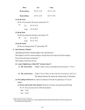
Buoy                Lat.              Long.

                             Western Buoy:        29º 51’.15 N        32º 33’.13 E


                              Eastern Buoy:       29º 51’.16 N        32º 33’.33 E

                       (2) In the West:
                          By the line joining the West buoy and position “P”:

                           "P":     Lat.    29º 48’.52 N

                                    Long.   32º 30’.90 E

                       (3) In the East:

                          By the line joining the East buoy and position “R”:
                           "R"      Lat.    29º 48’.52 N

                                    Long.   32º 33’.18 E
                       (4) In the South:

                          By the line joining position “P” and position “R".

                    F-  Suez Entrance Channel:

                        (Including the Eastern Channel leading to the Canal Entrance  )
                       This channel is used for vessels entering or leaving Suez Canal and also for those entering
                                                        (1)
                       Port of Suez and using its anchorage  .
                       This Channel is buoyed as follows:

                       (1) A pair of light buoys at Hm. 80.5 "entrance buoys":
                           a)  The eastern buoy:   Height 5 meters, Green, cone point up and showing Occ. G 4 sec.


                           b)  The western buoy:  Height 5 meters, Red, can day mark and showing Occ. Red 4 sec.
                                                   The distance between the eastern and western buoys is 340 meters.

                       (2) Proceeding Northward, the channel is marked on both sides by light buoys of 5 meters
                          height.

                          a) On the eastern side of the channel: the buoys are Green, cone point up and showing
                              FL. Gr. They are placed in the following locations :
                               Hm.    70.50

                               Hm.    60.00


                    1 ) The maximum draught authorized for vessels using Ibrahim Basin, the Petroleum Basin or El Adabeya Basin must
                      not exceed 42 feet at high water.


                                                            - 18    -